Guest post: Mrs Silvia Zaiser, RIEGL
Join Josh France, Mobile Segment Manager, and Michael Sitar, Executive Management Consultant for their FREE webinar!
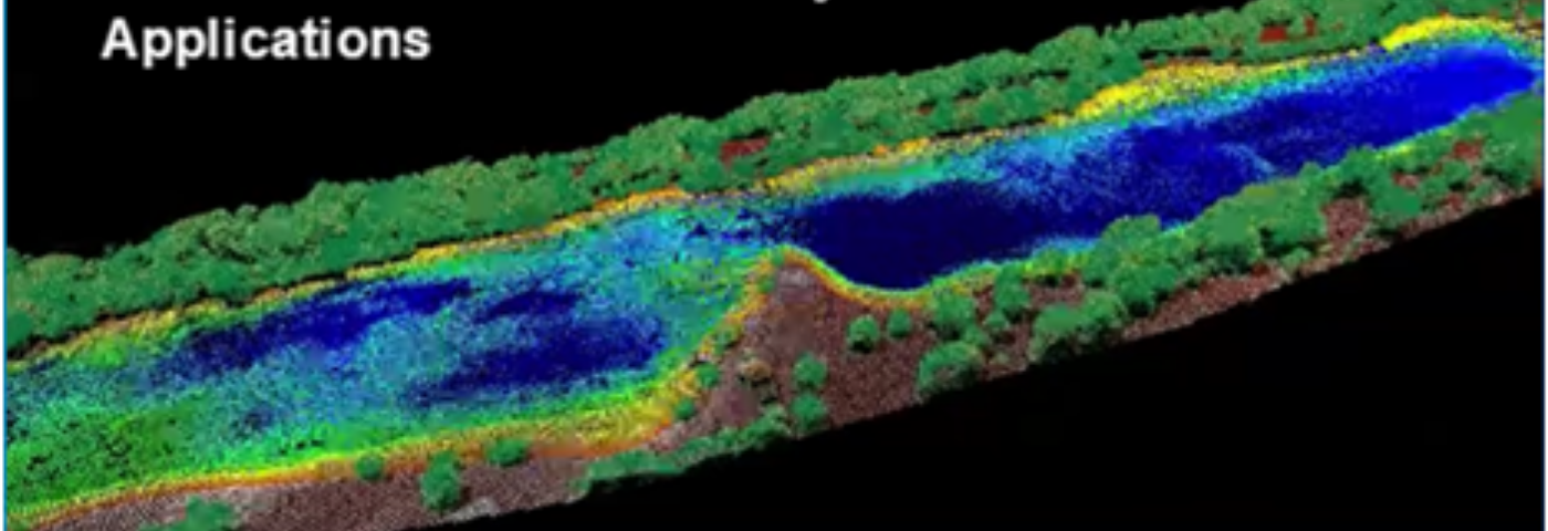
“What Can You See? A Look Underwater from Above“.
The webinar will highlight:
– Bathymetric mapping & terminology – what is it, and what do all these acronyms mean?
– Operational considerations – What is the significance of water and bottom conditions on my data?
– Bathymetric Sensor Solutions – What options are there for me?
– Workflow Differences – What is different about bathymetric versus topographic processing of lidar data?
– Field examples – A look at what is possible using RIEGL bathymetric sensor solutions
Thursday, May 21, 2020, 7:30 PM – 8:30 PM (CEST)
Register now for this webinar!


